DHULE
Architecture
Last updated on 6 November 2025. Help us improve the information on this page by clicking on suggest edits or writing to us.
Architecture of Prominent Sites
Dhule district’s architecture is marked by its rich historical sites, where ancient rock-cut structures and strategic fortifications stand alongside intricate stepwells. The Bhamer Fort, a prominent hill fort, showcases impressive defensive structures, while the Ahilya Barav, a five-storey stepwell built during the reign of Ahilyabai Holkar, reflects the region’s water management ingenuity. These landmarks highlight the district’s architectural diversity, blending utility with historical significance.
Bhamer Fort
Bhamer Fort, a historic hill fort, is located along the Dhule–Surat highway in Sakri taluka of Dhule district. Built in the medieval period, it is considered the most prominent among the five hill forts in the region. The fort follows the traditional architectural style of hill forts, with a strategic design featuring natural defenses and man-made fortifications. Though much of its structure has deteriorated over time, Bhamer Fort remains significant for its unique architectural features and its strategic location, which once made it a key military and trade site.
Bhamer, the village beneath the fort, was once part of an ancient settlement known as Bhadravati, as mentioned by Suresh Nimbalkar in Durgbharari. He suggests that the fort may have been built during the Satavahana era, based on the presence of caves and trade infrastructure. According to the District Gazetteer, the caves are "on one level like the ones at Ellora (Verul) in Aurangabad district." Historically, Bhamer was also a trade center, positioned along key routes such as the Khandesh–Burhanpur–Surat and Nashik corridors.
The fort is classified as a giridurg (hill fort) and rises about 2,500 feet above sea level. It is located at the eastern end of a rugged, rocky hill range, separated from the rest by an artificial chasm. The southern side has the main entrance. Inside the fort, there are several cisterns with potable water, four large rock-cut storerooms, ruined gateways, and collapsed towers. The natural escarpment has been reinforced with masonry in places, though much of these additions have worn away with time. Bhamer was reportedly destroyed in 1736 during the suppression of Kale Khan, a rebel who had seized the fort, and it never regained its former prosperity.
![A ruined stairway at Bhamer Fort, Dhule, surrounded by the remains of ancient rock-cut structures and fort walls.[1]](/media/culture/images/maharashtra/dhule/architecture/a-ruined-stairway-at-bhamer-fort-dhule-sur_N9vWMb4.jpg)
Ahilya Barav
Ahilya Barav is a five-storey stepwell located in the village of Ahilyapur in Dhule district. It was constructed during the reign of Ahilyabai Holkar (1767–1795), the visionary ruler of the Holkar Empire, who governed from her capital at Maheshwar. At the time, the Holkars controlled a strategically important network of territories across central and western India.
![Ahilya Barav in Ahilyapur, Dhule, illuminated by locals during the birth anniversary celebrations of Punyashlok Ahilyabai Holkar.[2]](/media/culture/images/maharashtra/dhule/architecture/ahilya-barav-in-ahilyapur-dhule-illuminate_DfOgCMq.jpg)
Stepwells, also known as baravs, were more than just water reservoirs as they were architectural marvels that combined utility, spirituality, and artistry, shaping subterranean architecture across western India from the 7th to the 19th century. In keeping with this tradition, Ahilya Barav was designed to meet both practical and strategic needs.
The stepwell is built from brick and stone and covers approximately 1,012 square meters. Its structure includes 13 arches and a central area large enough to accommodate military personnel. It is said to have been built to fit up to 100 bullocks at once, leading to its local name: “12 bailancha mothnad” (area with twelve stalls for bullocks). Inside, remnants of a reservoir and broken water pipes reflect the engineering acumen of the period, providing insight into the region’s historical infrastructure and water management practices.
Residential Architecture
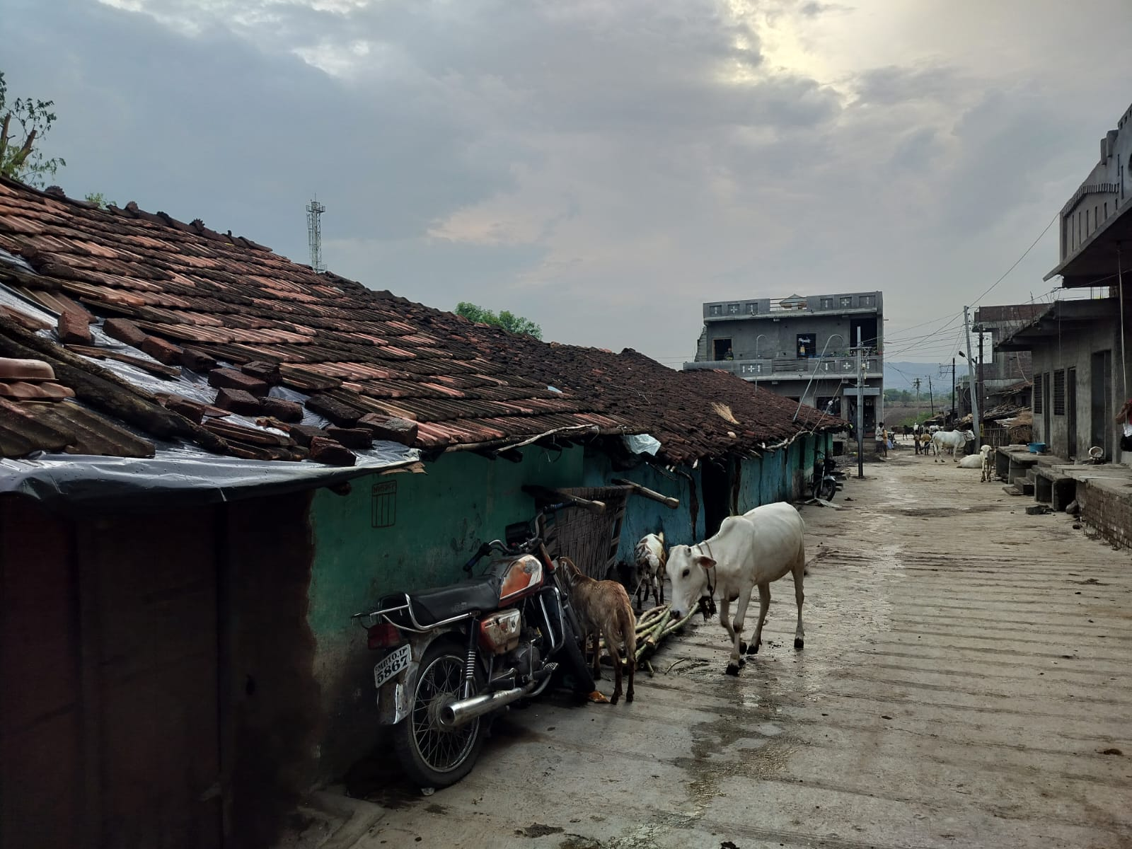
Dhule is home to many indigenous communities, each preserving their distinct building traditions in close-knit settlements called wadas. These traditional settlements, housing generally one specific community, represent a unique cultural space - where the spatial organization, construction techniques, and material choices of homes capture the heritage and distinct style of each community.
Residences of Pawarwada
Pawarwada is a residential cluster which is situated in Boradi village, Shirpur taluka. The cluster is a traditional wada that is home to the Pawra community; who are among the many indigenous communities that inhabit the district. Similar to other traditional settlements in the region, Pawarwada carries the distinct architectural practices that the Pawras have maintained through generations.
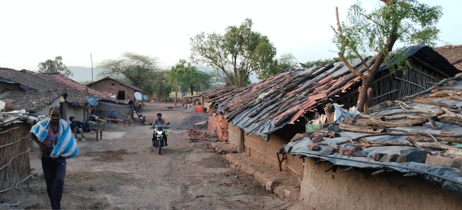
The traditional homes of the Pawra community, as community members share, are called ‘Khupdi’ or ‘Khopdi.’ The Khupdi’s are small, thatched huts constructed using locally sourced materials. The basic structural components include bamboo, teak wood, and shisav (Indian Rosewood), while the roofs are typically made from teak leaves, grass, and mud. The huts are secured with ropes made from local plants, known as Bhend and San in Pawra language and are used in a traditional binding technique which is unique to the community.
The abundance of forest materials used by Pawra’s in their construction practices tells a deeper story. It is, in many ways, linked to the community's historical roots and their way of life. The Pawras are believed to be descendants of one of the oldest communities in India and have a long history of inhabiting forested, hilly regions along the Satpuda range.
Agriculture was the primary occupation of the Pawras, as A.K. Prasad notes in his thesis The Bhils of Khandesh Under the British East India Company (1818 to 1858 A.D.): “Most of the Pavras were husbandman.” This socio-historical aspect is reflected in various architectural elements of their homes, such as the construction of cow sheds, known as gothas, adjacent to each dwelling.
The unique building traditions of the Pawra community can be found within the design of their homes and also the way they build their homes. Fascinatingly, the builders of a Pawra home, as community members say, would usually involve the immediate family, extended family and community members. The construction, being a collective effort, perhaps indicates how self-sustenance is part of their building traditions. The Khupdi they would build, as residents say, would measure about 10x10 ft.
Once the structure is erected, the home is enclosed by a protective grass barrier, known as the Tatal. For those living in forested areas, this enclosure likely served as a safeguard, shielding the residents and their homes from wild animals and other potential threats.
The final touches to the house are traditionally completed by the women of the community. They apply a mixture of dung and soil to the floors and adorn the walls with decorative paintings. This practice reflects both the community’s cultural and aesthetic traditions.
Across many cultures and civilizations, the design and inhabitation of homes have often been influenced by not just practical considerations such as climate and geography, but also by deep-rooted traditions and beliefs. For the Pawra community too, these beliefs and rituals have played a significant role in shaping the way they build and occupy their homes.
The Ghar Chuka Ceremony
A key ritual that marks the completion of a home in Pawra culture is the ‘Ghar Chuka’ ceremony. This event involves sacrificial offerings (typically a chicken), a communal feast, and blessings from a pujari. Locals state that it is only after this ceremony is performed that the family begins to reside in the house, signaling that the space is spiritually and ritually ready for habitation.
Mavu
Historically, as the Pawra community has resided in forested areas, human-animal conflict was likely a significant part of their lived reality. To address this, they incorporated various protective measures within their homes. One such feature was the tatal, a grass enclosure built around their homes to shield them from the dangers of the forest. Alongside this, the community created garlands known as mavu, which were placed within the dwelling as an additional protective measure.
The presence of both tatal and mavu (one a physical barrier, the other as a safeguard) perhaps reflects how the community approached protection through both material and spiritual means. Community members share that additional security measures were taken as well: each house maintained a guard dog to protect against thieves and dacoits, alerting families to potential threats.
Mortality & Housing Traditions
A unique tradition among the Pawras, when it comes to housing, is surprisingly tied to mortality. As A.K. Prasad notes in his thesis, “Pavras used to leave a house in which two or three deaths had taken place.” This custom may suggest that the Pawras viewed their homes as living entities, closely connected to the fortunes and misfortunes of their inhabitants. It could also offer insights into how deeply held beliefs about death and space influenced their settlement practices. In many ways, these traditions illustrate the relationship between the community with the spaces they inhabited.
Sources
A.K. Prasad. 1991. The Bhils of Khandesh Under the British East India Company (1818 to 1858 A.D.). Konark Publishers.
Durg Bharari. Bhamergad. Durg Bharari. Accessed March 17, 2025.https://durgbharari.in/bhamergad/#google_vig…
Government of Maharashtra. Bhamer Fort. Dhule District. Accessed November 15, 2024.https://dhule.gov.in/tourist-place/thalner-f…
Maharashtra State Gazetteers. 1974. Dhulia District. Directorate of Government Printing, Stationery & Publications, Government of Maharashtra, Mumbai.
Wikipedia. 2024. Bhamer Dhule. Wikipedia. Accessed on May 14, 2025.https://en.wikipedia.org/wiki/Bhamer_Dhule
Last updated on 6 November 2025. Help us improve the information on this page by clicking on suggest edits or writing to us.