Satara

10,480 sq. km
~32.00 lakh (2019)
988 (2011)
~ ₹46,372 crore (2019)
~ ₹1.45 lakh (2019)
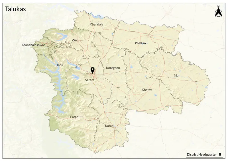
Satara district, nestled in western Maharashtra, is steeped in history and mythology. Its name derives from the “Sat-Tara” or “seven stars/forts,” likely referencing its prominent hill forts and celestial associations. Karad, one of the oldest towns in Satara, is mentioned in inscriptions as early as 200 BCE, and tradition holds that the Pandavas spent their exile in Wai (then “Viratnagari”). The territory saw successive rule by the Rashtrakutas (with capital at Manapura), Mauryas, Satavahanas, and later the Chalukyas. Satara rose to prominence in the 17th century when Shivaji Maharaj conquered its fort, making it a key seat of the Maratha Empire. Chhatrapati Shahu’s coronation at Satara fort in 1708 further cemented the district’s central role in Maratha history. During the British period, Satara briefly existed as a princely state before annexation in 1848; notably, it was a stronghold of the freedom struggle, especially during the “Satara Parallel Government” movement against British rule (1943–46).
Culturally, Satara is renowned for its vibrant traditions in Marathi theatre, folk music, and dance. The district is home to significant temples—such as the shrine of Mandher Devi (Kalubai temple), the revered Mahabaleshwar and Panchgani hill temples, and key Varkari sites like Wakhari. Satara’s cities and towns have a reputation for excellent educational institutions (including Sainik School), and for producing notable social reformers, warriors, and stage personalities. Pilgrimage fairs, jatras, and vibrant village festivals keep centuries-old customs alive.
Geographically, Satara is defined by the rugged Sahyadri (Western Ghats) and Mahadeo ranges, which shelter green valleys, plateaus like Mahabaleshwar and Panchgani, and dramatic waterfalls. The Krishna, Bhima, Koyna, and other rivers nourish fertile plains as well as irrigated plateaus. The Koyna Dam and Krishna canal stand as marvels of modern irrigation. Hill forests, laterite soils, and black cotton earth allow the cultivation of diverse crops and maintain unique biodiversity—including the Sagareshwar Wildlife Sanctuary and many forested tracts.
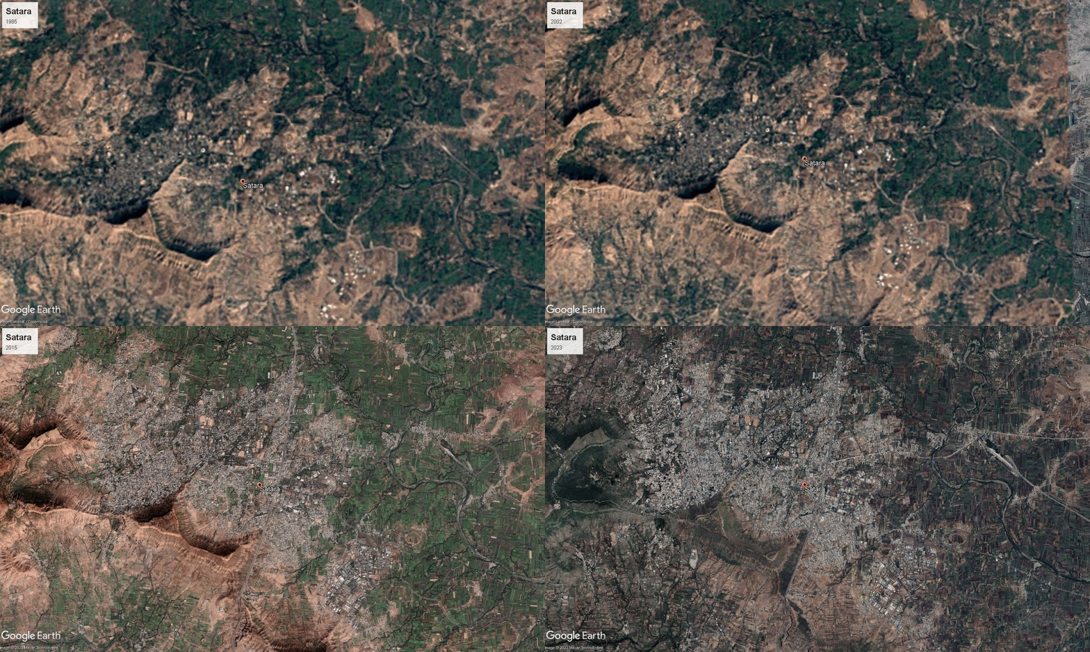
The economy of Satara is driven by agriculture, industry, and energy production. Mostly, it is rooted in agriculture, with lush sugarcane, paddy, groundnut fields, grapes, pomegranate, strawberries, and turmeric farming. Sugar mills are plentiful, and the district has robust dairy farming and cooperative movements. Industrial estates in Satara and Karad support engineering, auto parts, and textiles. Indeed, the industrial zones of Lonand, Shirwal, and Karad host major companies supporting manufacturing and employment. The Koyna Hydroelectric Project, Maharashtra’s largest power project, highlights Satara’s crucial role in energy production. The district also benefits from tourism, with Panchgani, Mahabaleshwar and Kaas Plateau (Valley of Flowers) attracting visitors for their scenic beauty and hill station climate.
Explore Satara
