Contents
- History
- Ancient Trade & Trade Routes
- Modes of Transportation in the District
- Train and Rail Systems
- Overview of Bus Networks
- Traffic Map
- Communication Networks
- Newspapers & Magazines
- Graphs
- Road Safety and Violations
- A. Cases of Road Safety Violations
- B. Fines Collected from Road Safety Violations
- C. Vehicles involved in Road Accidents
- D. Age Groups of People Involved in Road Accidents
- E. Reported Road Accidents
- F. Type of Road Accidents
- G. Reported Injuries and Fatalities due to Road Accidents
- H. Injuries and Deaths by Type of Road
- I. Reported Road Accidents by Month
- J. Injuries and Deaths from Road Accidents (Time of Day)
- Transport Infrastructure
- A. Household Access to Transportation Assets
- B. Length of Roads
- C. Material of Roads
- Bus Transport
- A. Number of Buses
- B. Number of Bus Routes
- C. Length of Bus Routes
- D. Average Length of Bus Routes
- E. Daily Average Number of Passengers on Buses
- F. Revenue from Transportation
- G. Average Earnings per Passenger
- Communication and Media
- A. Household Access to Communication Assets
- B. Newspaper and Magazines Published
- C. Composition of Publication Frequencies
- Sources
DHULE
Transport & Communication
Last updated on 6 November 2025. Help us improve the information on this page by clicking on suggest edits or writing to us.
History
Ancient Trade & Trade Routes
The Dhule district, owing to its location, it has long served as a point of passage for trade routes connecting the Deccan region with Gujarat and northern India.
Dhule lies in the historical Khandesh region, which has served as an important trade corridor for centuries. Notably, the Periplus of the Erythraean Sea, an ancient text, mentions routes through this area that connected the port of Bharuch (Broach) in Gujarat with Paithan and other towns further south.
In the early 1300s, after the Delhi Sultanate expanded into the Deccan, the Sukaldevi Pass (also called the Barwani Pass) between Malwa (in present-day Madhya Pradesh) and Khandesh became an important route. In 1306, the general Malik Kafur built a settlement called Sultanpur at the southern end of this pass to secure this route. By the 14th century, this line of travel, passing through Sultanpur and further south through Songir, became a principal road connecting Upper India with Gujarat.
Within the present boundaries of the Dhule district, the towns of Songir and Dondaicha were key points on these routes. Songir, notable for its hill fort, guarded the road and served as a post of control for movement and trade. Dondaicha developed as a local market centre, providing agricultural produce and services for traders transporting goods between the Deccan and the port city of Surat.
Though towns such as Nandurbar, Navapur, Visarwadi, and Chalisgaon now fall outside the district’s present limits, they were historically linked to the same network. Interestingly, it is noted in the district Gazetteer (1974) that these routes also connected inland cities such as Burhanpur, Chhatrapati Sambhajinagar, Pune, and Hyderabad with the ports on the western coast; all pointing to how the district was part of an important network of trade routes.
Modes of Transportation in the District
Train and Rail Systems
Dhule district is served by a railway network that supports both passenger and goods movement. The district falls under the Central Railway Zone, with local operations managed by the Bhusawal Division. Two main railway routes have historically been associated with the district: the Bhusawal–Surat line, which is part of the Western Railway Zone, and the Chalisgaon–Dhule branch line, under the Central Railway Zone.
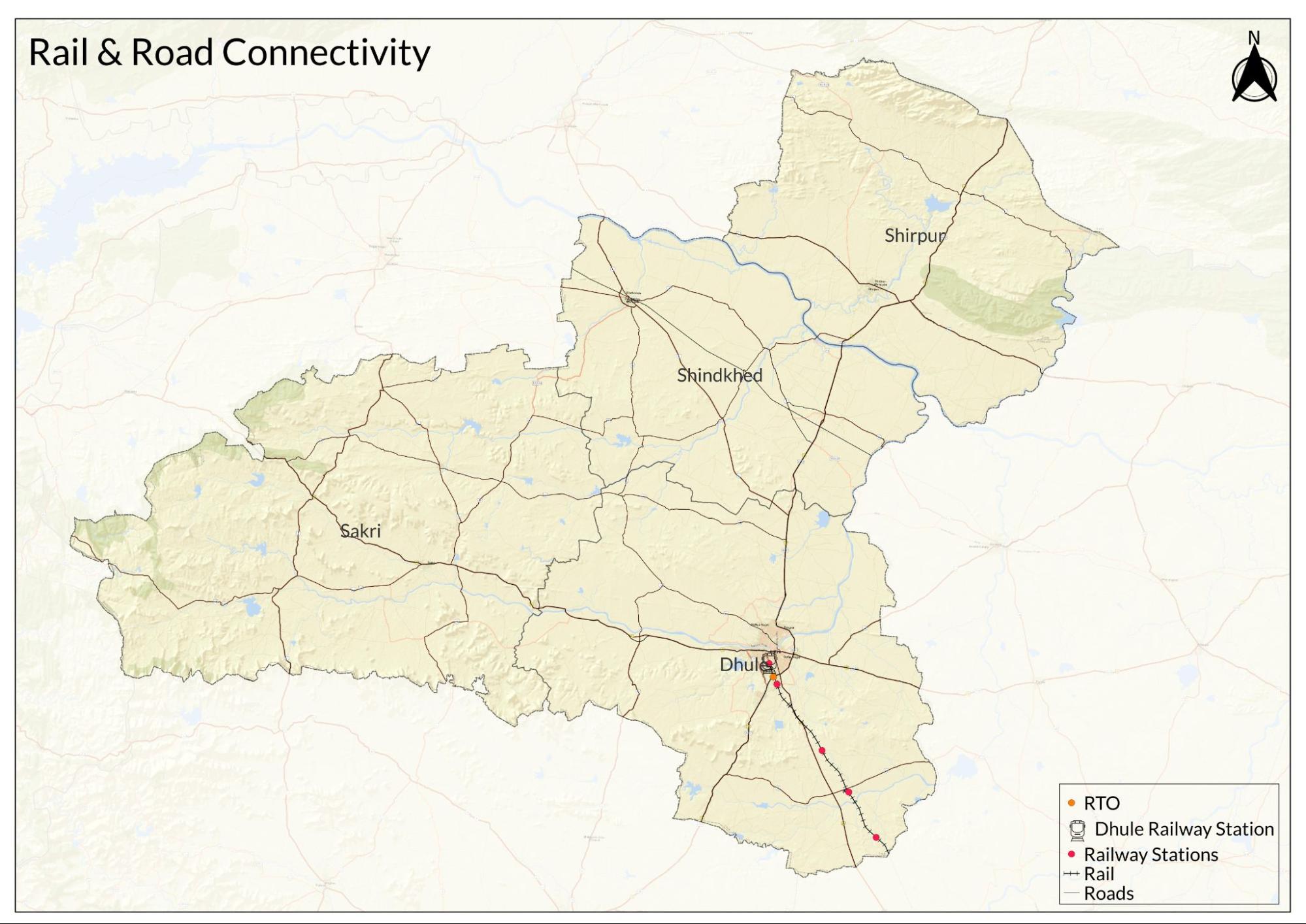
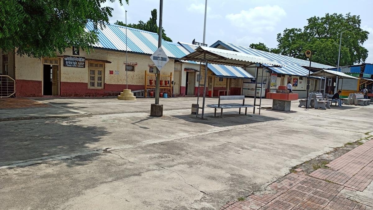
Dhule Railway Station, the district’s principal rail hub, is situated on the Chalisgaon–Dhule line. This broad-gauge branch line enters the district near Shirud village and connects Dhule to Chalisgaon, which links further to major lines in the region. The station serves regular passenger services connecting Dhule with Chalisgaon, Mumbai, and other important centres.
The history of rail transport in Dhule dates back to the British colonial period. Railways were first introduced to the district in 1900. According to the district Gazetteer (1974), the Chalisgaon–Dhule line was laid as a branch of the Central Railway to serve the growing trade of the area. Dhule’s importance as a marketplace was strengthened by its location on the historic Bombay–Agra Road, a major road that linked Mumbai (then Bombay) with Agra, passing through the Khandesh region and making Dhule a natural stop for traders and transport.
Key goods at that time, which were carried by rail, according to the Gazetteer, included cotton, groundnut, jowar, and wheat. In the early 20th century, the station dispatched 200 to 300 milk cans daily to Bombay. Intermediate stops like Shirud and Borvihir served local villages along the route, with the Chalisgaon–Dhule passenger train making three round trips each day.
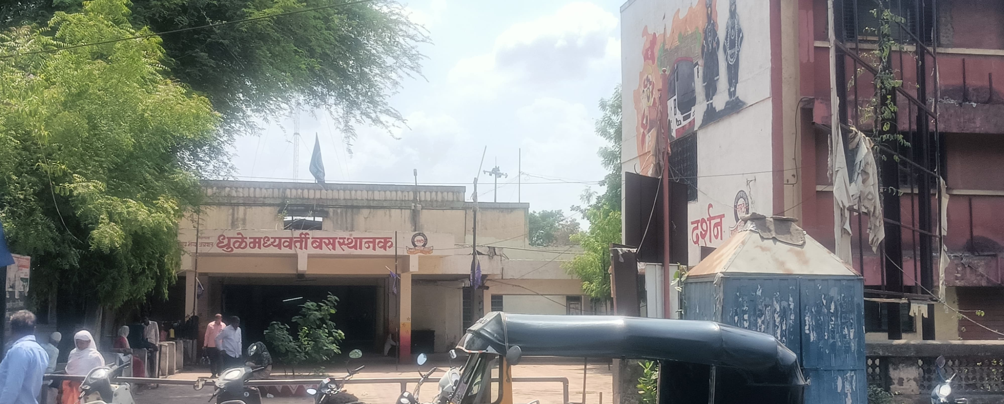
Overview of Bus Networks
Bus transport remains an essential part of daily life in the Dhule district, connecting towns, villages, and remote areas. For many residents, the Lal Pari bus service provides a vital link for work, school, and everyday needs. The network plays an important social role as well, helping people stay connected within the district and beyond. Challenges persist in serving hilly or less accessible areas, and the need for service improvements is a concern shared by many communities across India.
The history of organised bus services in the district dates back to the years after independence. In August 1947, the State Government decided to take over passenger transport services, leading to the formation of the Bombay State Road Transport Corporation. According to the district Gazetteer (1974), the state was then divided into administrative divisions for ease of operation, with Dhule placed under the Khandesh Division. The nationalisation of bus services in Khandesh began in March 1952. Subsequently, the Khandesh Division was reorganised into two separate divisions to serve the Dhule and Jalgaon districts more efficiently.
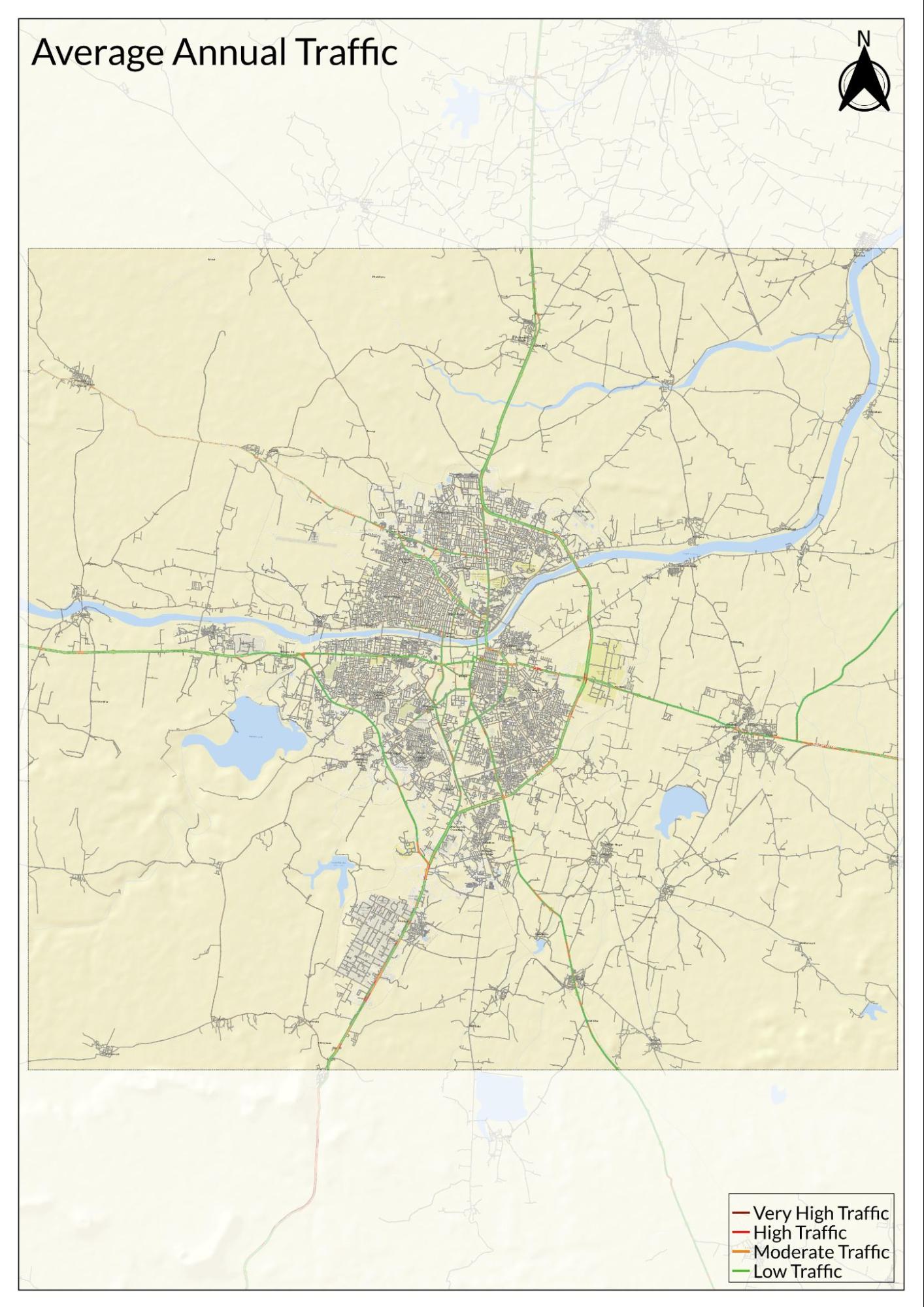
Traffic Map
Communication Networks
Newspapers & Magazines
Dhule district is served by a range of newspapers and periodicals that provide local, regional, and national news. According to the district Gazetteer (1974), during that time, many local publications such as Swatantra Bharat, Navhind, Apna Maharashtra, Rachana, Varta, Sudarshan, Yugasandesh, Vanavasi, Girijan, Kranti, Satpuda, and Navbahar were based in various centres such as Dhule city, Shirpur, and Dondaicha. They circulated as weekly newspapers; however, it is noted that their reach was generally limited.
At present, a variety of local and national newspapers reach readers in the Dhule district. Well-known Marathi and Hindi dailies include Lokmat, Punyanagari, Sakal, Deshdoot, Dainik Bhaskar, Maaza Zilha, Desh Unnati, alongside national papers such as the Times of India and Nai Dunia.
Graphs
Road Safety and Violations
Transport Infrastructure
Bus Transport
Communication and Media
Sources
Bina Sengar. 2016. Trade Routes and Commercial Networks in Deccan-Marathwada During the Seventeenth and Eighteenth Century. In Salma Farooqui (eds.). Histories, Regions, Nodes. Primus Books.
Maharashtra State Gazetteers. 1974. Dhulia District. Gazetteers Department, Government of Maharashtra, Mumbai.
World Health Organization. Road Safety. WHO, Geneva.https://www.who.int/health-topics/road-safet…
Last updated on 6 November 2025. Help us improve the information on this page by clicking on suggest edits or writing to us.